

 Buy me a coffee

Road bike loop from Buti, Tuscany: 71 km into the Pisa hills
Tuscany, Italy · Road bike
- Distance
- 71 km
- Climbing
- 518 m
- Surface
- Paved
- Riding time
- about 2 h 27 min
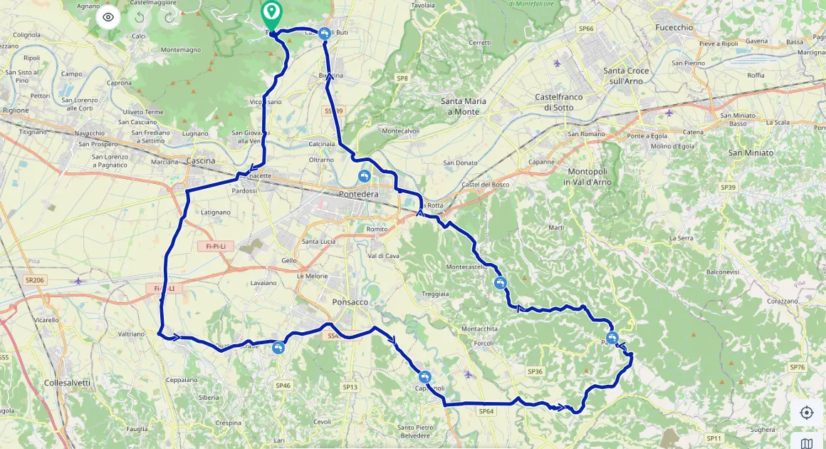
The route starts on the flat, past small towns and fields, and then gradually climbs into real hilly Tuscany. Here the road winds between vineyards, olive groves and villages on the hillsides.
You feel the climbing, but it is gathered in one main section, after which you can descend for a long time and just look around.
Elevation
Good to know
- Start and finish: Buti, at the foot of Monte Pisano.
- Surface: paved all the way.
- Drinking water on the way: Fontanello di Tomaiola (Lari), Fontanello di Capannoli, Fontanello di Palaia, San Gervasio, Cannella San Gervasio.