

When you connect Strava, you may notice that some of your activity tracks look strange on the map: jagged, with long straight lines between corners, sometimes cutting over fields or across hills. This is not a bug — it is how Strava sends the data.
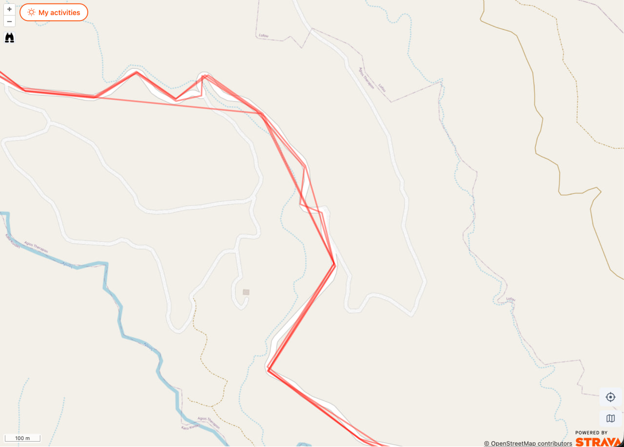
Why this happens
Strava lets us read your activities in batches of 200 at a time. To keep these batch responses small and fast, Strava only includes a simplified version of each track — a low-resolution shape with only a few points. This is a Strava restriction, not a choice we make. The full, accurate track is not in the batch.
How we fix it
To get the accurate version of a track, we have to ask Strava for it one activity at a time. Each of those requests costs one unit of our Strava API quota. The quota is shared between all RouteCycle users and is not very high, so we cannot refresh everything at once. We update tracks gradually, in the background.
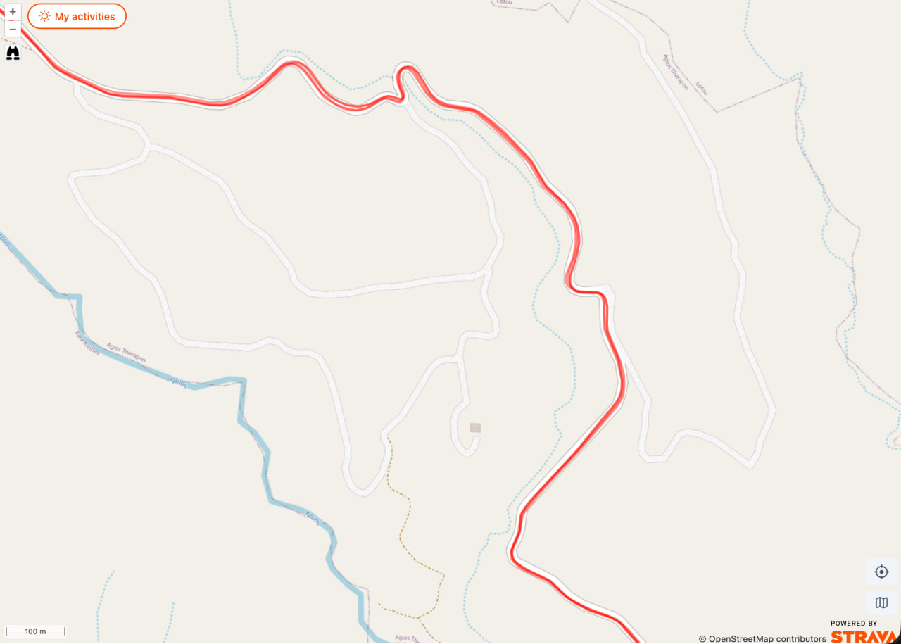
What you will see
While the refresh is in progress, you can see a mix on the map: some tracks are already accurate, others are still the rough version. The example below shows this — the top track has been refreshed and follows the streets, while the tracks at the bottom are still the default rough lines that cut across blocks.
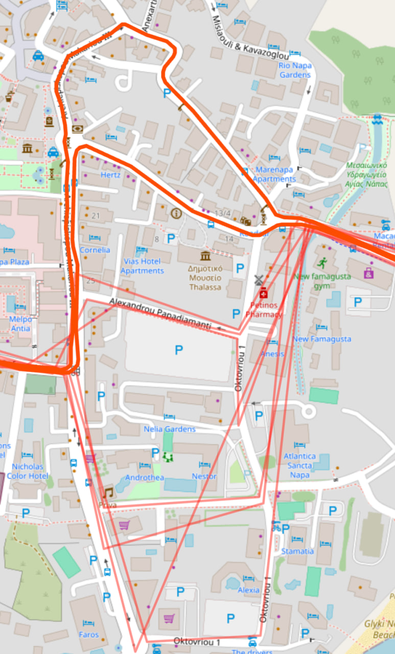
Just give it some time. The tracks get better and better as the background refresh runs. If something still looks wrong after a few days, please email us with the route link and we will take a look.
How to check the status in the app
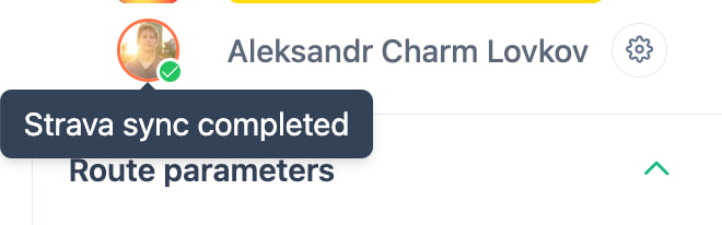
You can see the refresh status on your Strava avatar at the top of the page. When all your activities are loaded but not yet refreshed to the accurate version, you will see a yellow indicator. The whole service works normally in this state — only the heatmap is not accurate yet.
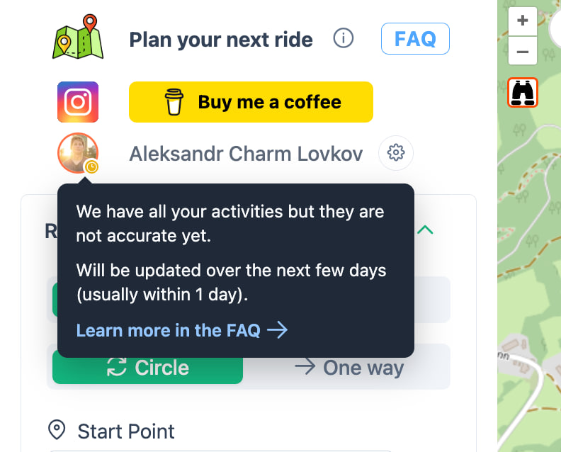
Once the refresh finishes, the indicator turns into a green check mark and you see "Strava sync completed." From this point, every track is the accurate version.
The full refresh can take from a few hours to a few days. It depends on the queue: how many users are syncing at the same time and how many activities you have. Users who visit RouteCycle more often get priority in the queue — you just need to open the site while logged in with Strava. You do not need to generate routes for this to count.